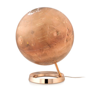
More about the series Duo...
The characteristic appearance of the DUO map image is achieved only after a 24-stage printing process. The brilliant colours when illuminated, and the political map's colour harmony are complemented by an unsurpassed wealth of up-to-date information (cold and warm ocean currents, mountains and oceans when illuminated, shipping lanes, railways and airline routes, and much more besides). The map image is produced by hand using traditional techniques.
4D globe app for iPhone and iPad
Now you can take your Columbus DUO globe to the next level: download the Columbus 4D Globe app for iPhone or iPad and immerse yourself in virtual reality!
Simply move your iPhone or iPad over your illuminated DUO globe and, as if by magic, the weather or temperature data of all the major cities float above the globe. Or select the country encyclopaedia and discover exciting and important facts about the countries of the world. The content of the country encyclopaedia is being expanded daily. Have you always wanted to learn more about the Earth's interior? There are also alternative maps that conjure up new perspectives on the globe's surface.
You're guaranteed to be enlightened and amazed! The app progressively offers you new topics to discover. Available for the Columbus DUO series of globes in the App Store, only for iPhone or iPad.