Please note that the map is in English!
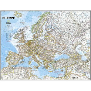
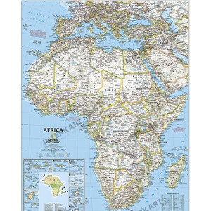
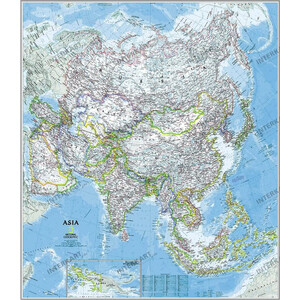
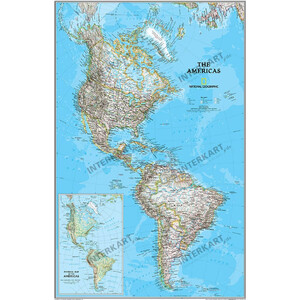
The map uses the "Classic" cartography of the National Geographic Maps Division. This cartography is essentially political. Physical information is indicated by shading.
Are you planning your next holiday in Australia? Do you have a friend who wants to go to Australia on a working holiday?
Then this map is just right for you!
This highly accurate political map of Australia clearly shows
- the state borders
- capital cities
- sea areas
- parks
- and much more.
Map sections show Tasmania and Australia's most important cities.
This laminated map can be written on with water-soluble pens. Self-adhesive stickers can also be applied and removed again.
The map is delivered rolled up in a plastic tube.
The map is protected on both sides by a 0.07 mm thick, glossy polyester film.
Similar to illustration: The map will of course be delivered without the manufacturer's watermark!