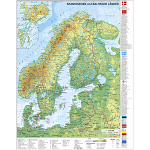
Physical map of France with UNESCO World Heritage Sites and national parks
The map shows
- State and regional borders, capitals and other important cities, locations with 100,000 or more inhabitants
- Motorways and national roads
- Main railway lines, ferry routes and airports
- Colour coding of mountain heights and sea depths
- Names of mountains, landscapes, glaciers, rivers and bodies of water
The labels on the map are in French. The legend for UNESCO World Heritage Sites and national parks is in German.
The paper is writable and wipeable, as well as particularly tear-resistant!
The map is delivered rolled up in a plastic tube.