
Satellite image
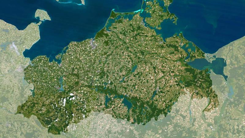
A satellite image is a digital, photographic image of the Earth or parts thereof. Satellite images are produced by sensors installed on satellite platforms.
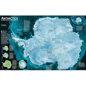
National Geographic
Continent map Antarctic
$ 58.00
ready for shipping in 1-2
weeks
National Geographic
Continent map Antarctic
$ 28.90
ready for shipping in 1-2
weeks
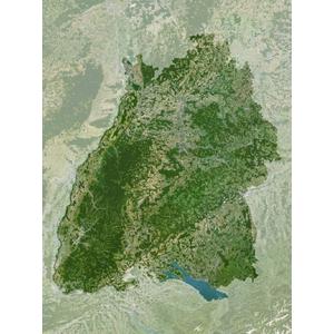
Planet Observer
Regional map Baden-Wuerttemberg
$ 20.90
ready for shipping in 24
h
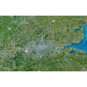
Planet Observer
Regional map Greater London
$ 20.90
ready for shipping in 24
h