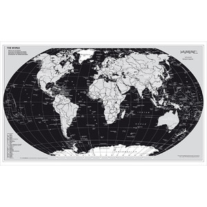
Physical world map with a high information content
- Rivers with names
- Mountains with names and heights in metres
- Elevation and depth layers marked by colours
- Ocean currents colour-coded in warm and cold
- Time zones
- Separate display of the polar regions
- Ice and drift ice boundaries
Also:
- Flags of all countries of the world
- National borders
- Capitals and cities with 500,000 inhabitants or more
- Major sea and airports
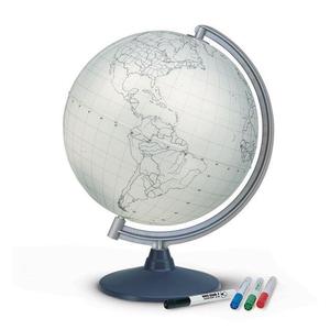
The paper is writable and wipeable, as well as particularly tear-resistant!
The map has metal strips that keep it taut and make it easy to hang up.
The map is delivered rolled up in a plastic tube.